

Live decision support when GPS goes down
Autonomous mapping and real-time 3D insights in GPS-denied environments. Supplied in Australia and New Zealand by Drochaid.
With today’s increasingly contested and hostile operating environments, Emesent offers solutions to enhance strategic, tactical and operational decision-making while reducing warfighter risk. Hovermap’s battle-proven GPS-denied autonomy and mapping capabilities allow the rapid capture of 3D and other GEOINT data in GPS-denied, zero-light conditions. Map tunnels, buildings, bridges and terrain with real-time 3D data streaming for tactical decisions, pre-mission planning, Sensitive Site Exploitation, CBRNe incident response and more.
Why choose Hovermap for your operations?
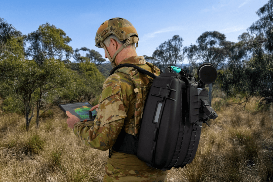
Versatility in the field
Map anywhere with one system. Hovermap is renowned for its versatility — the Swiss Army Knife of LiDAR mapping.
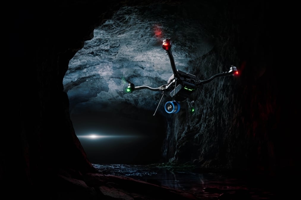
Visibility in zero-light conditions
Map zero-light Sub-T environments. Hovermap operates in dark, GPS-denied environments where other systems fail.
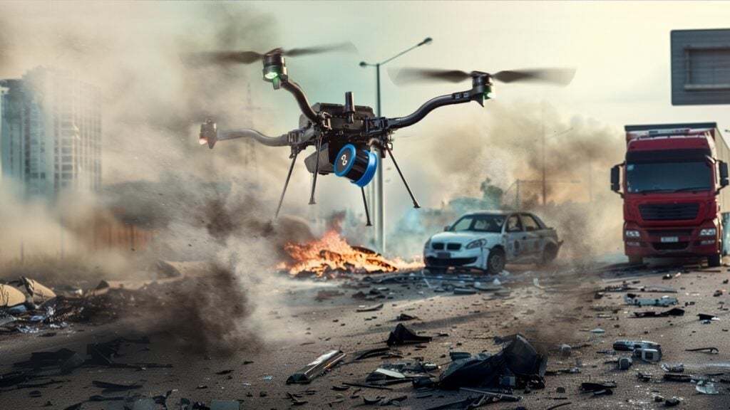
Safer, faster mapping
GPS-denied autonomy to keep troops safe. Hovermap’s AI-powered autonomy engine, Cortex, provides autonomous exploration.
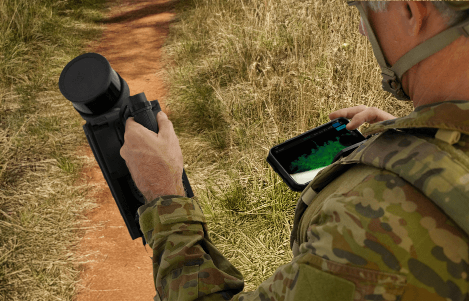
Real-time data streaming
Stream real-time 3D maps for enhanced situational awareness and decision support.
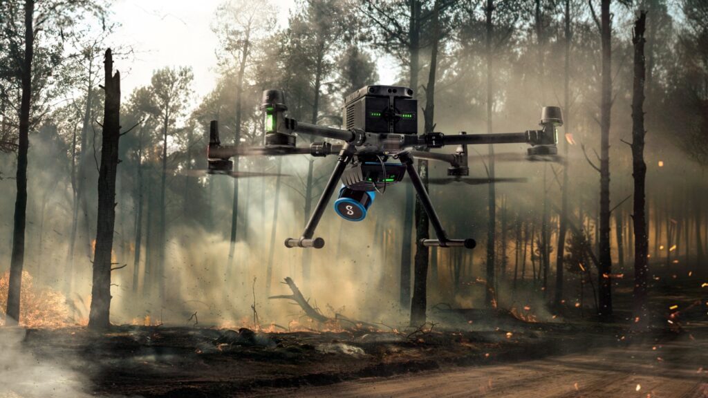
Fast mobile data capture
Map complex environments in minutes with Hovermap’s SLAM (Simultaneous Localisation and Mapping) algorithm.
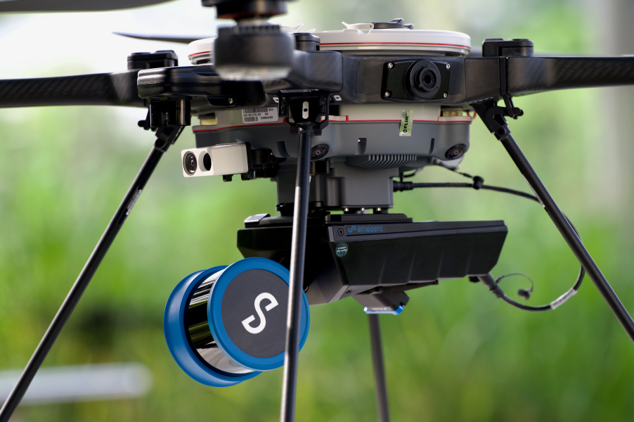
NDAA-compliant Blue UAS integration
Enhance your Blue-approved UAS. Hovermap integrates with existing NDAA-compliant DUI Blue-approved UAS.
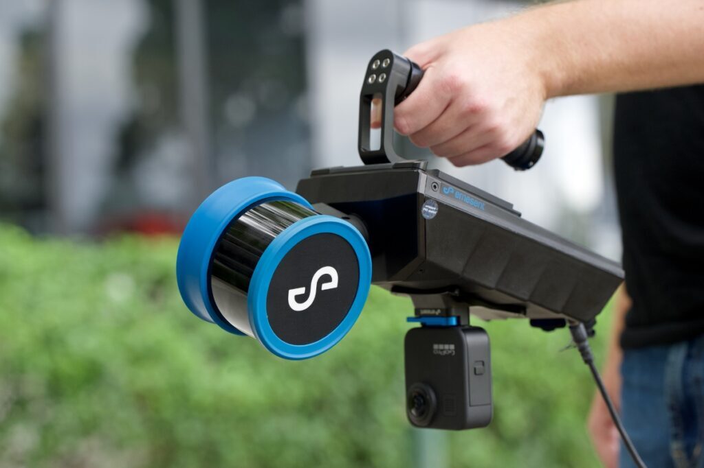
Modular expansion
Adapt Hovermap to meet your mission needs. Its modular design allows capability to be added as requirements change.
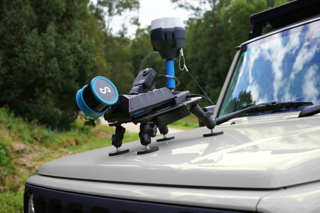
Survey-grade accuracy
Capture cm-level accurate 3D data indoors and outdoors.
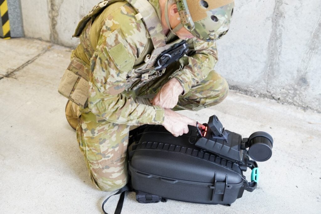
Secure and easy to use
Deploy securely with minimal training. Hovermap is designed for ease of use and security.
Critical advantages in the field
Rapid mount system for UAS, UGV or vehicle
Just 1.6 kg / 3.5 lbs
Up to 300 m LiDAR range, 1m+ points per second
Sealed against water and dust
On-board processing for real-time insights
Ability to disable Wi-Fi for secure operations
From the tunnel to the wharf
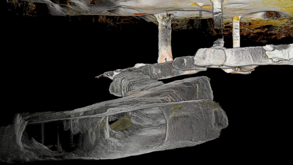
Tunnel / underground reconnaissance
Send a Hovermap-enabled UAS or UGV into challenging Sub-T environments to map them without putting troops at harm. Use the 3D data to plan breaches and clear buildings and tunnels before entering.
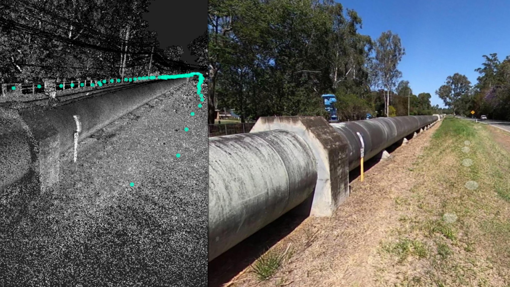
Sensitive Site Exploitation (SSE)
Rapidly capture a precise 3D representation of a site together with 360-degree images for a visual and spatial record that can be interrogated later. Perform virtual walk-throughs, take measurements and accurately locate image features in the 3D scene.
Indoor / building mapping
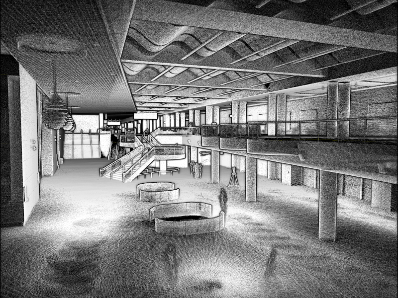
Map buildings, an entire campus or town — indoors and outdoors — for mission planning, route planning and rehearsals. Combine backpack, drone or UGV-based capture into a unified 3D view in Emesent Aura.
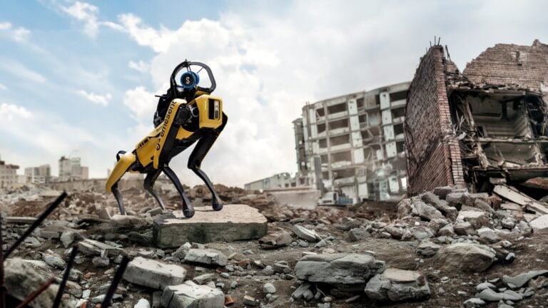
Explosive Ordnance Disposal (EOD)
Deploy Hovermap on an EOD robot for enhanced 3D situational awareness. Use the live-streamed 3D view to navigate complex environments and assess threats, and the 3D data for explosive blast modelling and standoff estimation.
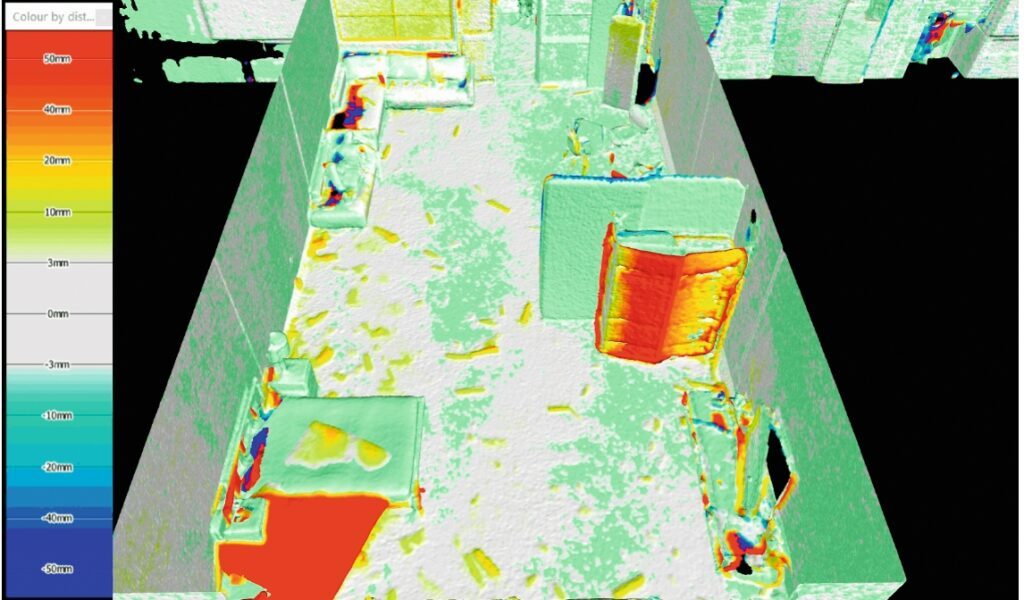
Change detection & battle damage assessment
Compare before / after scans to detect changes as small as 5 mm. Use detected changes for BDA or to identify suspicious objects, earthworks or sub-canopy structures.
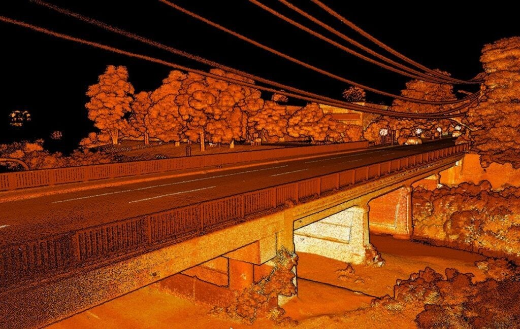
Military survey & GEOINT
Rapidly map tunnels, buildings, bridges and terrain, and use the accurate 3D data for pre-mission planning, simulations, training, hazard detection and route clearance. Produce topographic maps, digital surface models and digital terrain models.
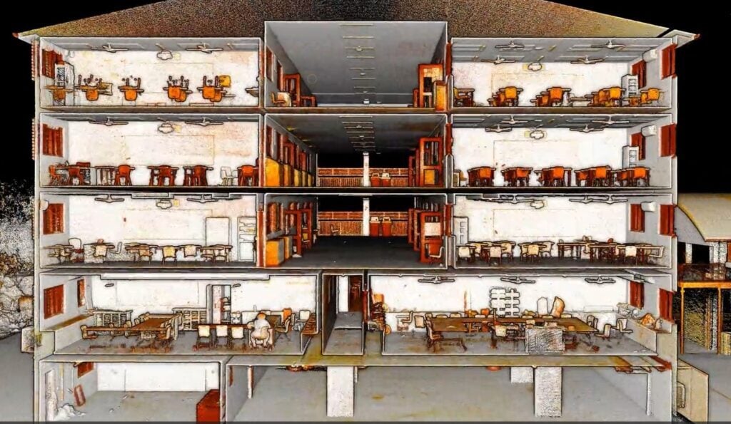
CBRNe response & forensic site mapping
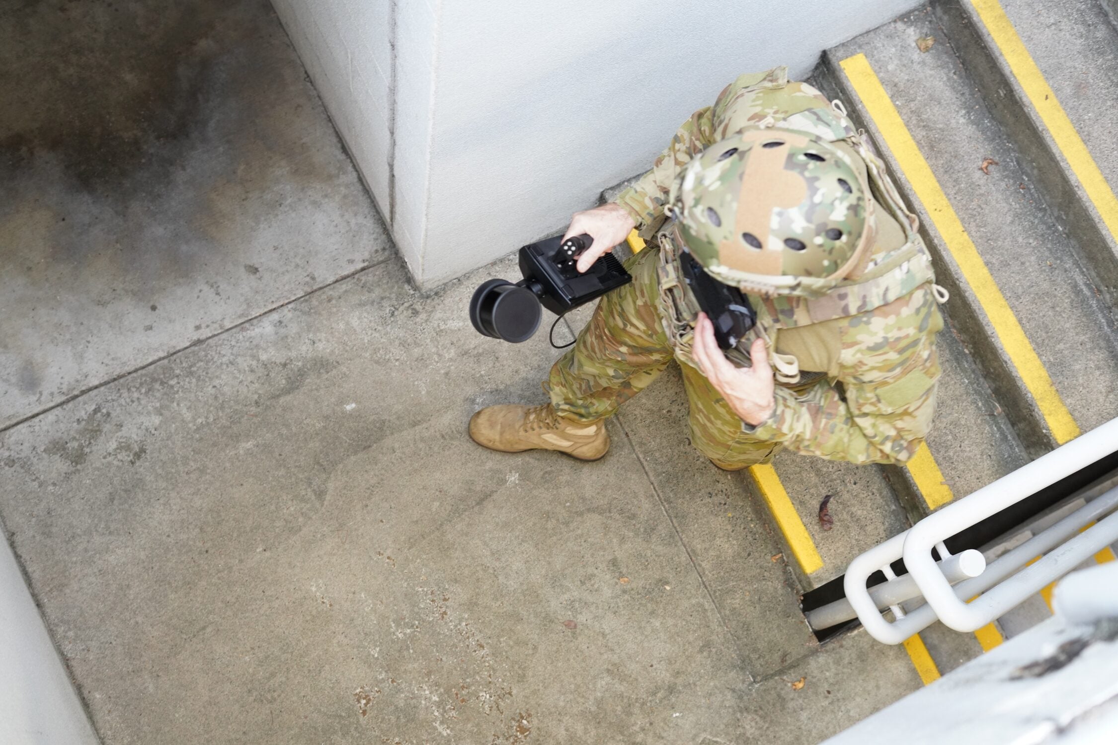
Collect 360-degree images and 3D LiDAR data rapidly without disturbing the scene. Use the SCBA or tactical-vest MOLLE mount to carry Hovermap through a CBRNe scene and produce a 3D view or 2D floorplan within minutes.
Asset monitoring & as-builts
Scan ports and wharfs above and below deck to assess condition and plan upgrades. Generate up-to-date 3D models of vessels to plan for upgrades and retrofits.
Ready to see Hovermap in action?
Talk to our team about Hovermap for your defence mission