

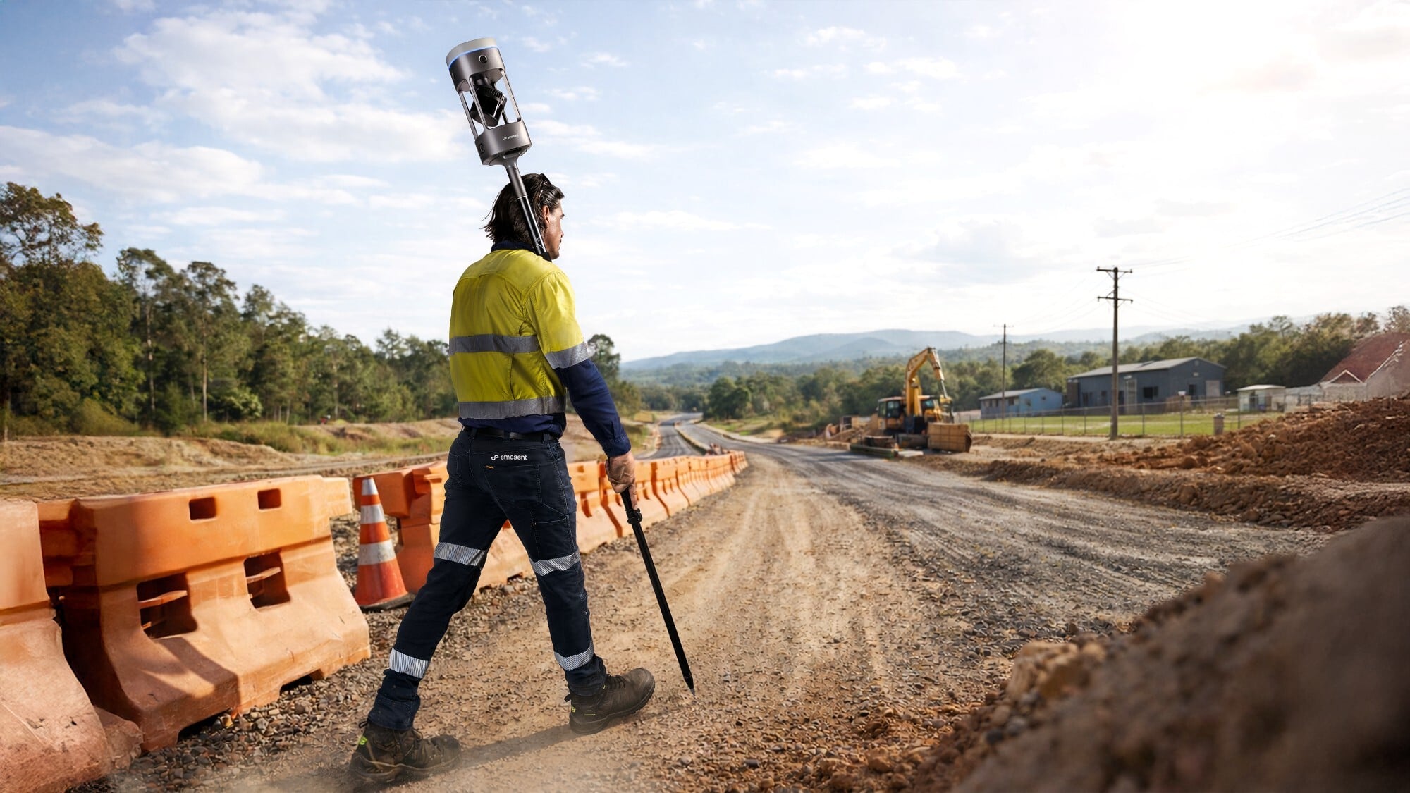
Scan faster, without sacrificing accuracy
GX1 gives surveyors what they’ve been asking for: mobile scanning speed with accuracy you can rely on, time and time again. With 5–10 mm global accuracy and integrated premium RTK georeferencing, you no longer have to choose between fast scanning and accuracy you can trust.
Simple enough for juniors. Powerful enough for experts. GX1 pairs Emesent’s award-winning SLAM with integrated RTK georeferencing so you can walk on site, press go, and capture survey-grade 3D data across the widest range of environments. Supplied in Australia and New Zealand by Drochaid.
Built for the way surveyors actually work
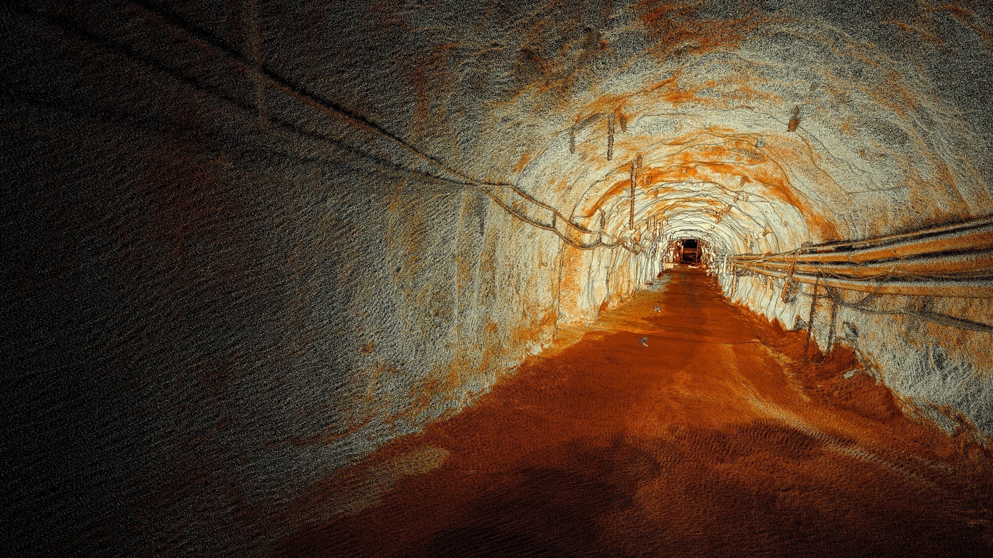
Emesent SLAM: results you can trust
Delivering under 10 mm global accuracy both indoors and out, Emesent SLAM excels across the widest range of environments.
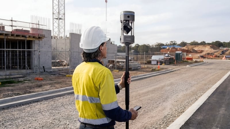
Capture more, faster
Complete complex scans in hours instead of days, without slowing down to set up.
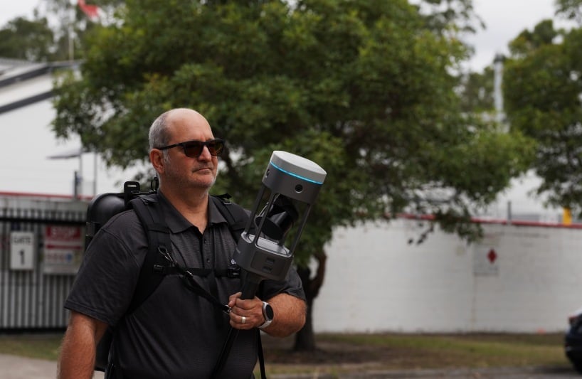
A simplified user experience
Simple enough for juniors to operate confidently within days, yet powerful enough for experienced surveyors.
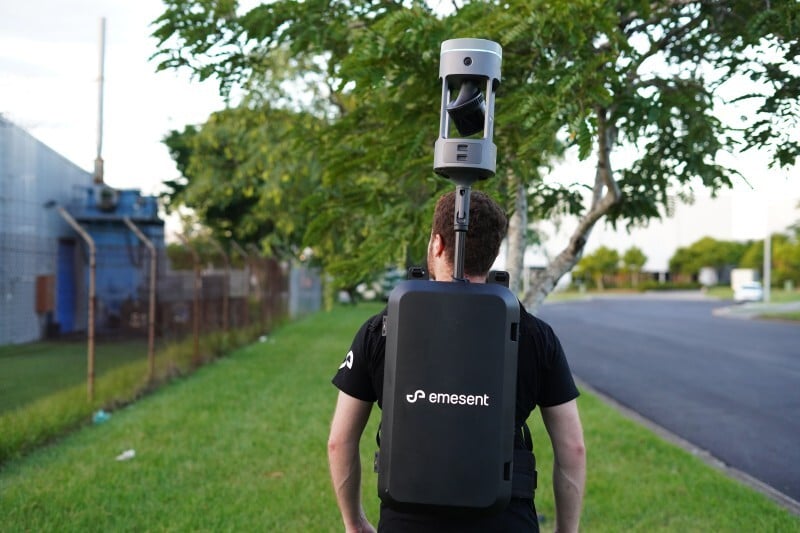
One device. Any project. Flexible georeferencing.
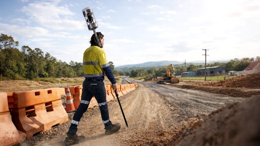
Switch between backpack, survey pole, vehicle mount and handheld harness to suit the job in front of you.
Key technical specifications
- Global accuracy
- 5–10 mm
- Local accuracy
- 5 mm
- RTK / PPK accuracy
- 15 mm
- Scan precision
- 2 mm
- LiDAR range
- 300 m · up to 1.92M pts/sec
- Image coverage
- 360° FOV · 4 × 20 MP
- IP rating
- IP65
- Operating temperature
- −10 °C to 45 °C
- Onboard storage
- 2 TB
- Battery life
- 60 minutes
- Power
- 54 Wh removable Li-ion
- Processing
- Unlimited · on-premise
Powerful results, end to end
Integrated RTK
A premium 448-channel RTK receiver delivers 0.6 cm + 0.5 ppm horizontal accuracy with real-time monitoring through the Commander app. PPK support available.
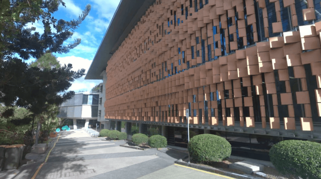
4 × 20 MP cameras
360° horizontal and 284° vertical coverage, with automated people masking and 360° panoramas embedded directly in E57 files.
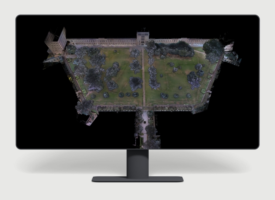
Unlimited processing, no usage fees
Process unlimited datasets on-premise with no per-scan charges or cloud processing costs.
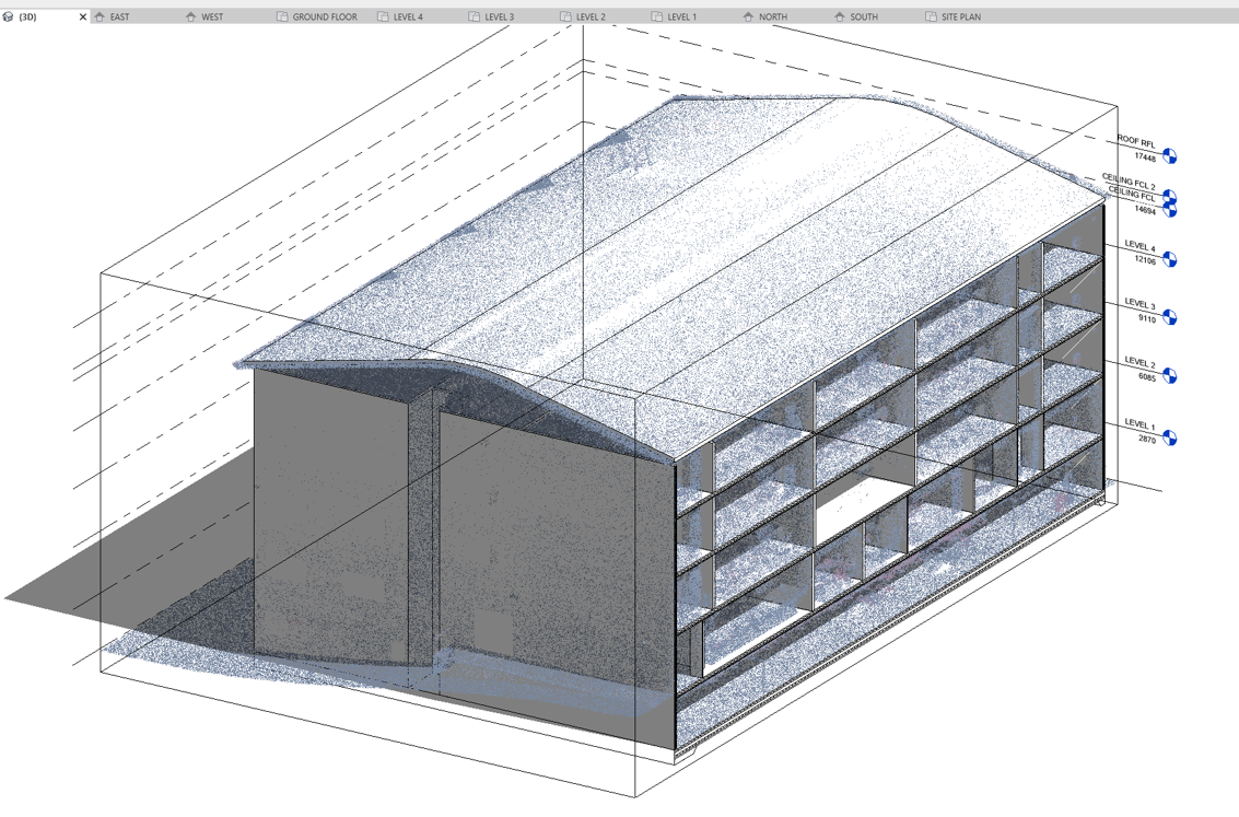
Enhanced end-to-end workflows
A complete ecosystem from Commander field monitoring to Aura processing, with integrations for Revit, Trimble, Bentley and Leica.
One device, four ways to deploy
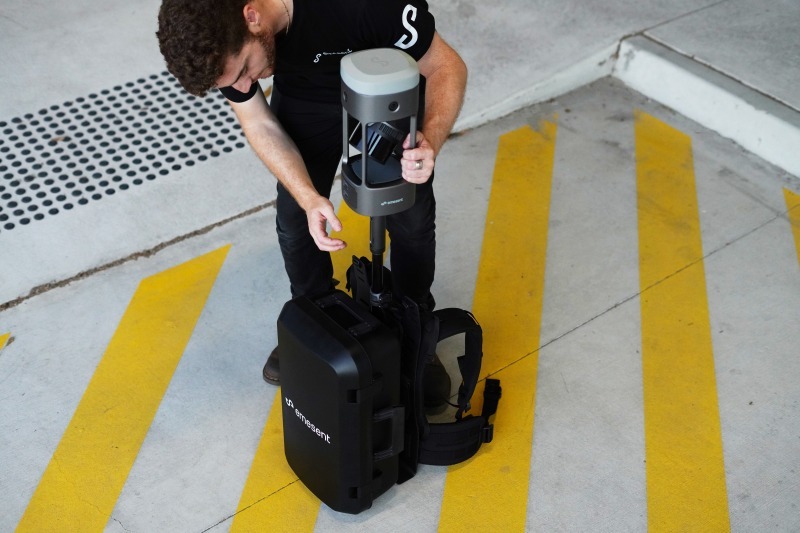
Backpack mount
The GX1 carry case doubles as a backpack mount for overhead scanning.
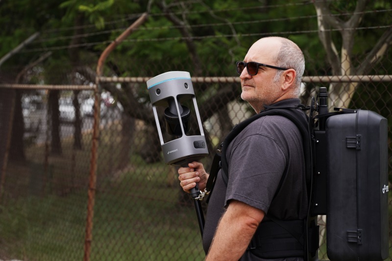
Supported handheld
A quick-mount accessory for confined areas and maximum manoeuvrability.
Survey pole
Mounts on industry-standard survey poles for extended reach and precise control points.
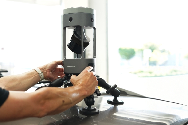
Vehicle mount
Available separately for large-scale projects captured at vehicle speed.
Use GX1 for
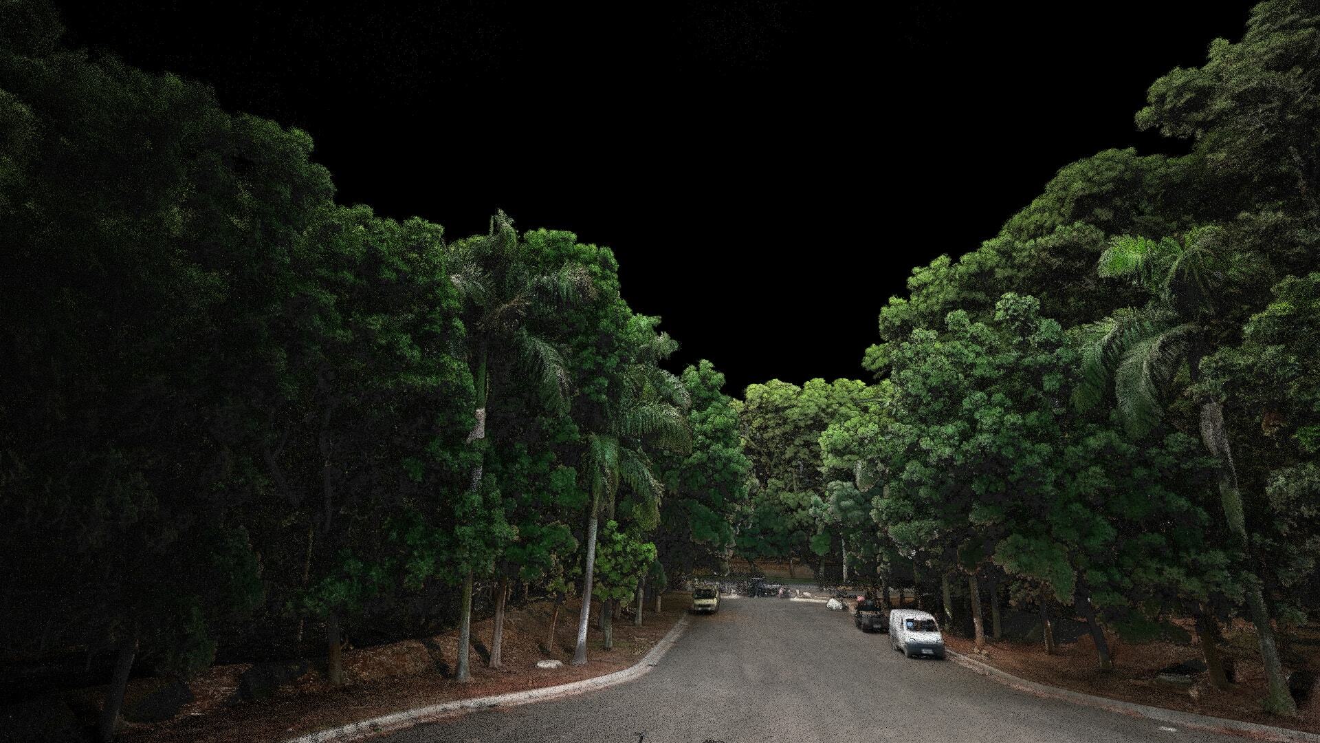
Topographic survey
Capture roads, parks and open terrain quickly with survey-grade detail for accurate site models.
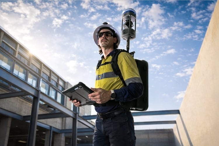
Scan to BIM
Produce clean, accurate point clouds ready to drop into Revit and your BIM workflow.

Construction progress monitoring
Track build progress over time and compare against design to catch issues early.
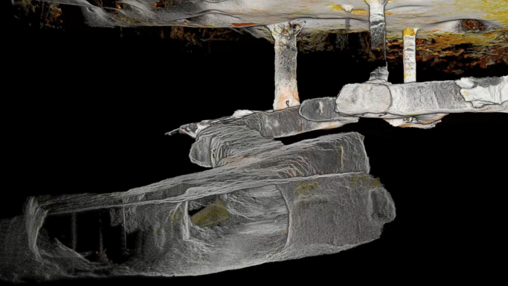
Tunnel survey
Map tunnels and underground spaces where GPS is unavailable, with reliable SLAM accuracy.
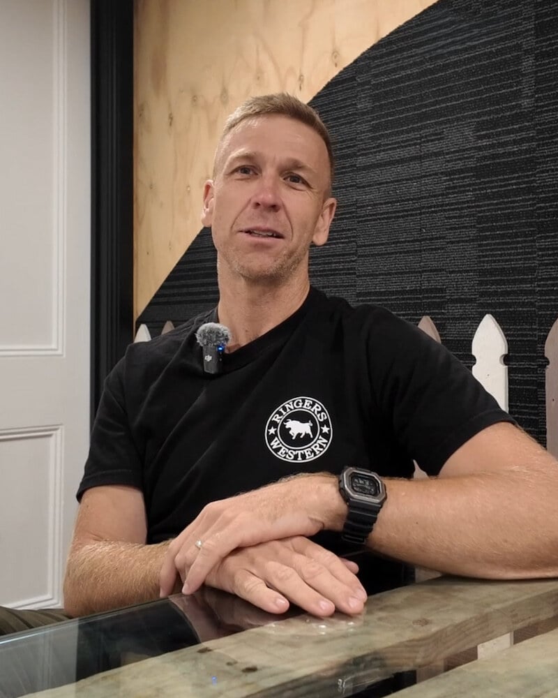
“GX1 is just a slicker unit where you’re able to turn up on site, press go and start capturing data. Still the same robust SLAM and great pickups as far as point cloud density goes, but packaged in a more thoughtful and efficient way.”