

Extensions
Extensions
Software and hardware extensions that add capability to your Hovermap — from colourised point clouds to automated ground control.
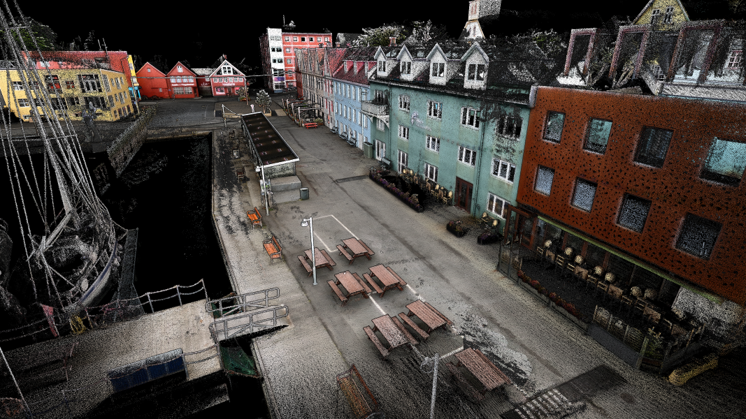
360° Colorization
Fuse 360° camera imagery with LiDAR to produce fully colourised, photo-realistic point clouds.
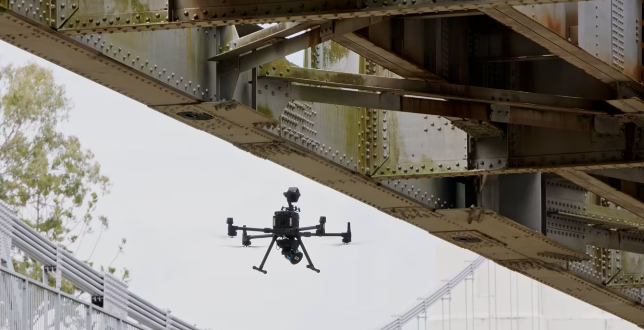
Automated Ground Control
Automatically detect and apply ground control points for georeferenced, survey-grade accuracy with less manual work.
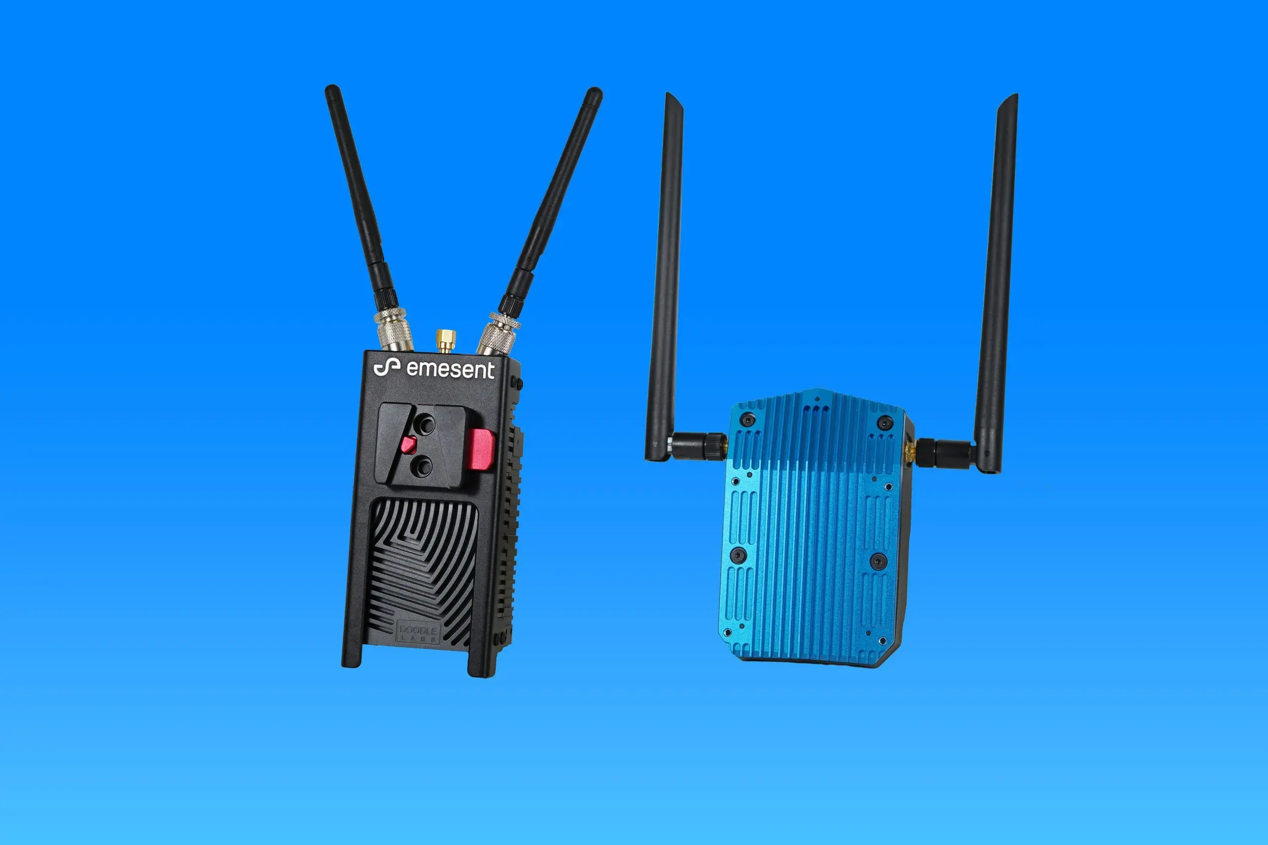
Long Range Radio
Extend the live streaming and control range between Hovermap and your tablet across large or obstructed sites.