

AI-powered, versatile LiDAR mapping
Fast, accurate, high-detail mobile data capture. With AI-powered autonomous mapping, a sensing range of up to 300 m and more than a million points per second, Hovermap delivers detailed, survey-grade data over a wide area — fast. Supplied in Australia and New Zealand by Drochaid.
Why choose Hovermap?
Fast time to insight
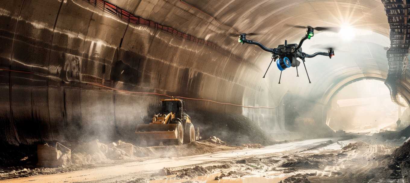
A LiDAR sensing range of up to 300 m and triple returns capable of more than one million points per second capture detailed, accurate data over a greater area in less time.
Survey-grade accuracy
Emesent’s award-winning SLAM, automated ground control points and a higher-resolution LiDAR sensor deliver a cleaner point cloud with sub-centimetre precision.
Uniquely versatile
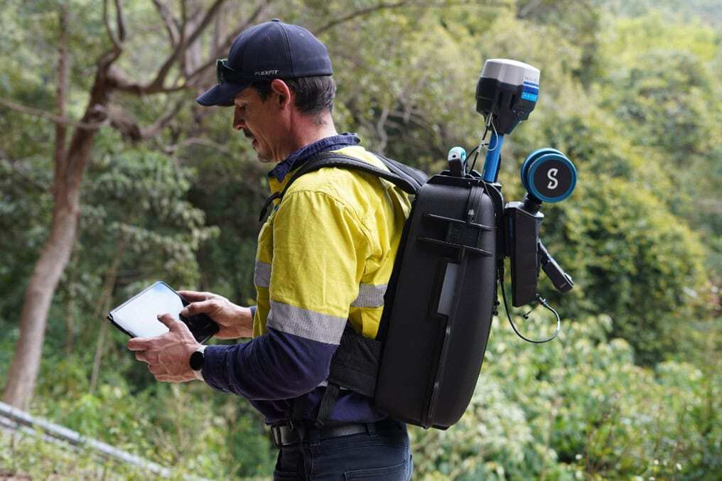
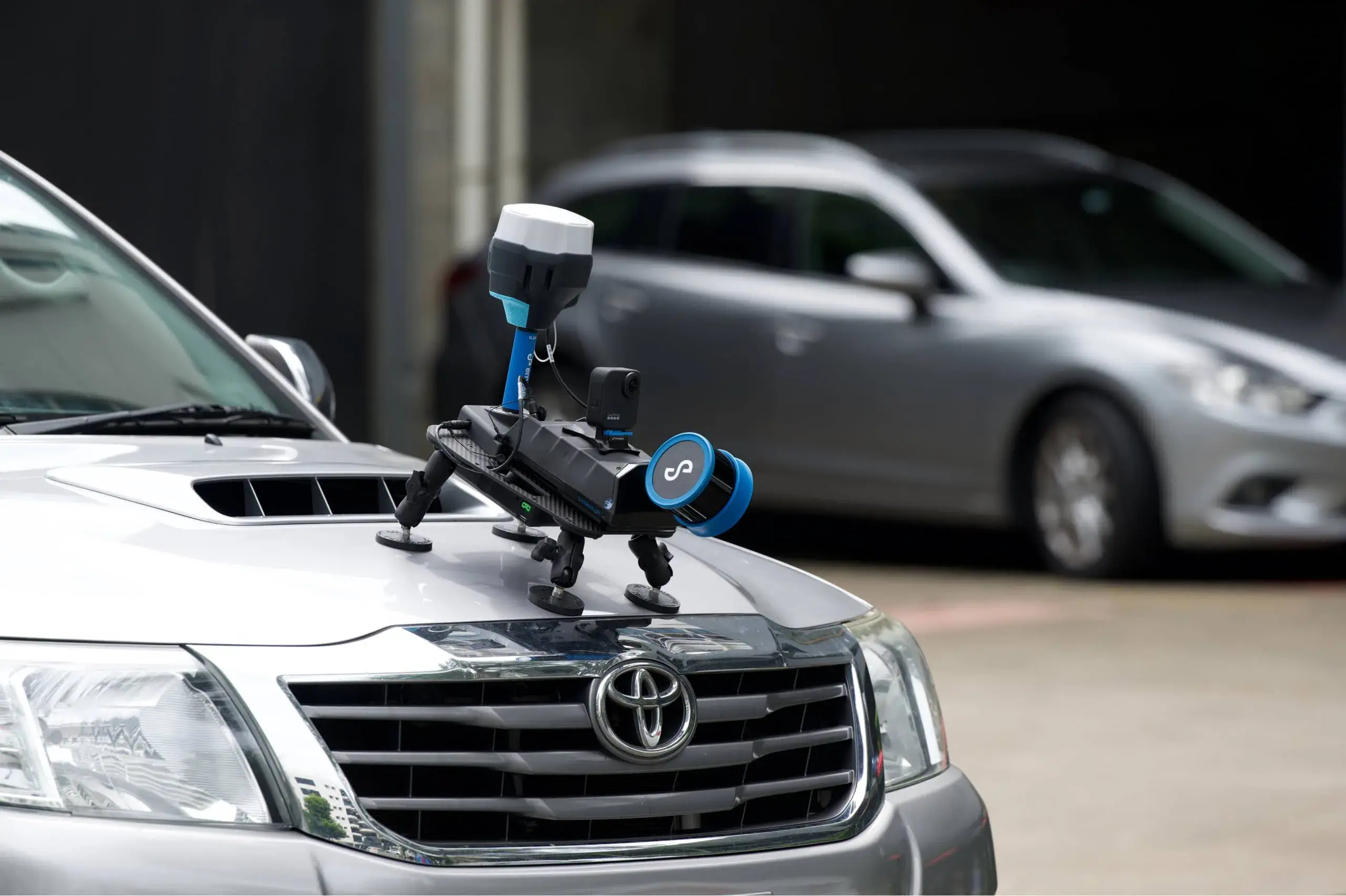
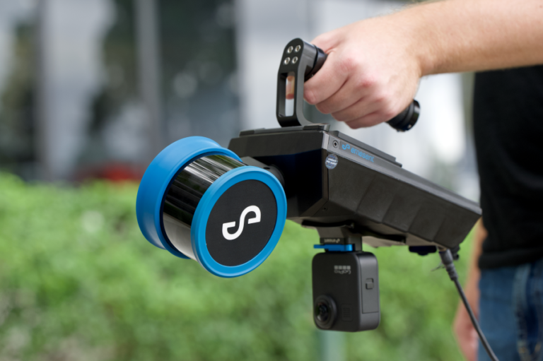
A plug-and-play design and quick-release mechanism let you switch easily between handheld, drone, vehicle, pole, cage or backpack to collect data anywhere.
Superior detail
Capture shadowless, high-quality point clouds of an entire complex asset with high-density data sets, then add a level of reality capture with colourisation.
A mode for every scanning need
Autonomous waypoint mode
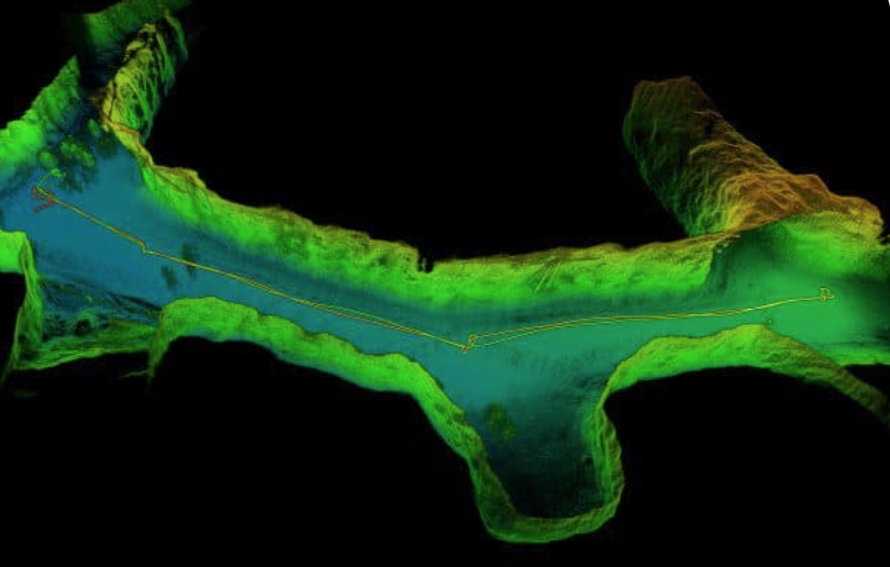
Beyond line-of-sight flight through smart waypoints and guided exploration. Tap the map to set waypoints and Hovermap navigates, maps the area, and keeps itself and the drone safe from obstacles.
Pilot assist mode
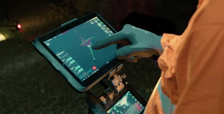
Omnidirectional collision avoidance, line-of-sight GPS-denied flight and stability control — a safety bubble around your drone for close, thorough inspections.
Mapping mode
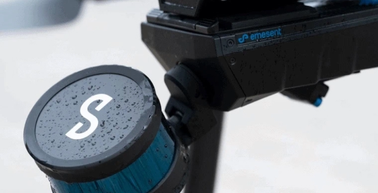
Fast, accurate, high-resolution mobile scanning where drone autonomy isn’t needed. Switch from drone to handheld, backpack, vehicle or protective cage for SLAM-based mapping.
Everything you need to capture, anywhere
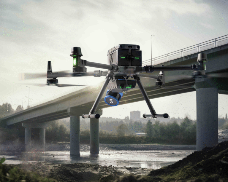
Designed for tough missions
A tough, lightweight, IP65 weather-sealed design with award-winning SLAM and autonomy algorithms that keep the drone and asset safe in hazardous, GPS-denied environments.
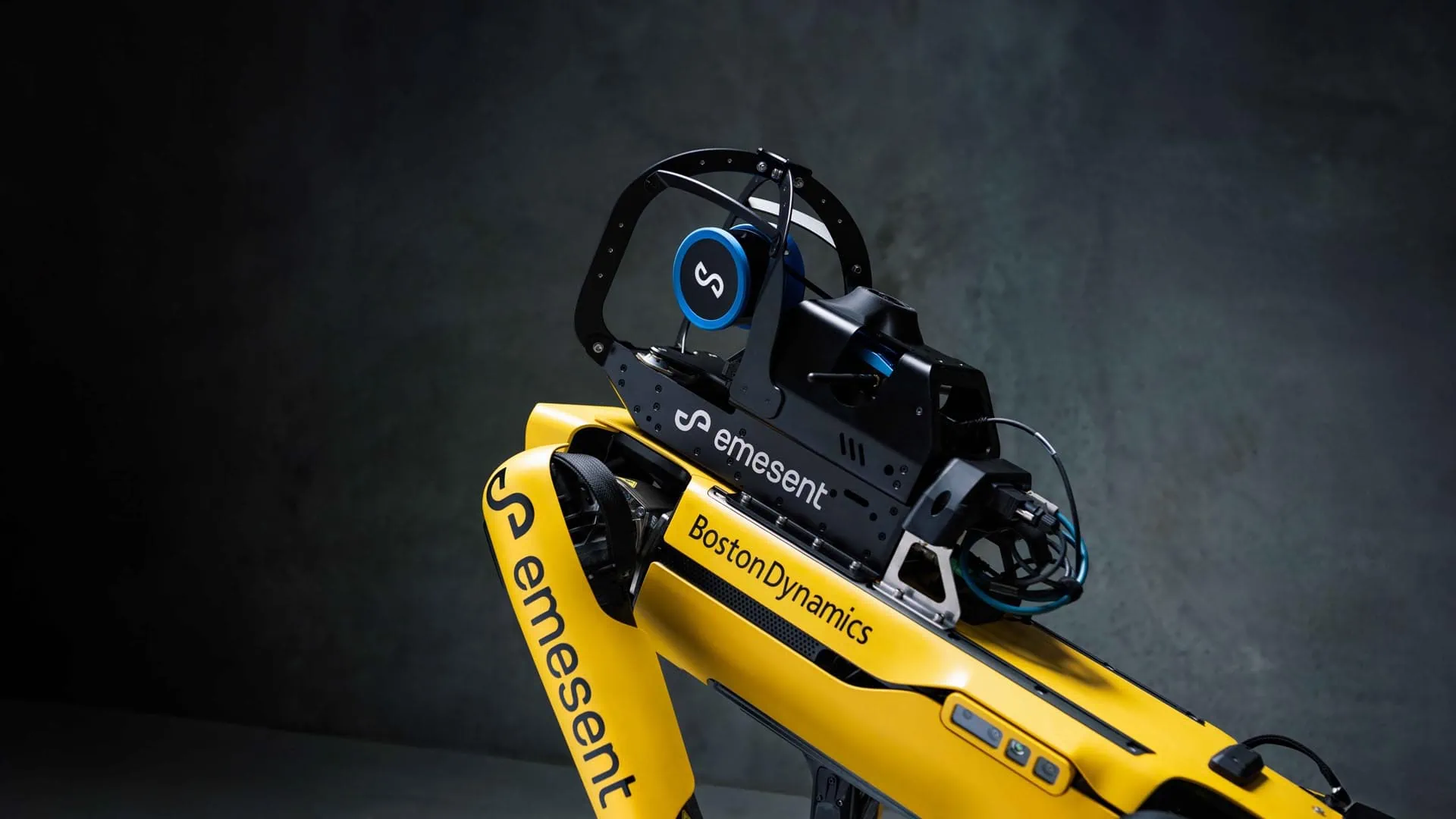
Deployment options to suit your needs
Capture data from previously inaccessible areas, from the air or the ground. Plug-and-play design switches from drone to handheld, backpack, vehicle or ground-robot scanning.
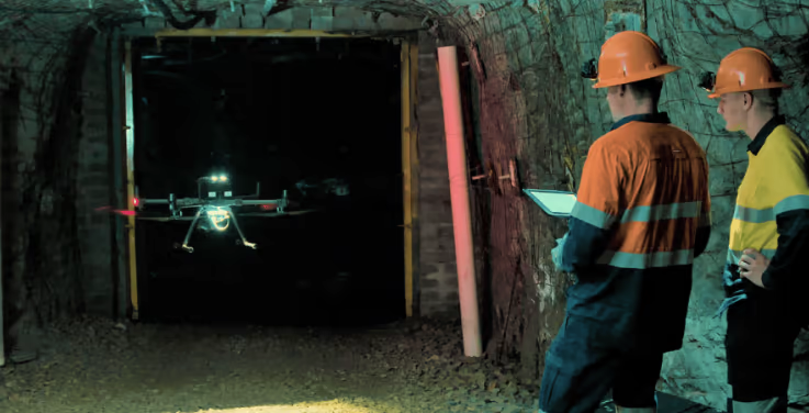
Robust, autonomous capability
Autonomy modes to suit the mission — pilot assist with omnidirectional collision avoidance, or beyond line-of-sight guided exploration.
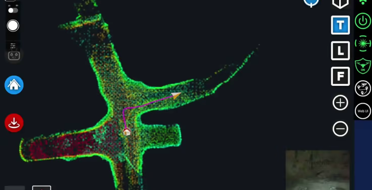
Live streamed point clouds
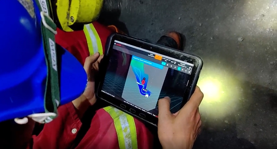
Hovermap streams the live point cloud to the app, giving you a real-time preview of the data as it is captured.
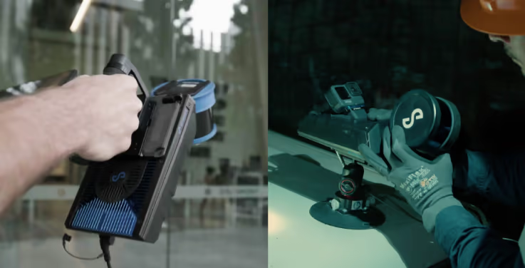
Designed for fleet expansion
Accessories purchased for the older Hovermap ST remain compatible with the STX, so expanding your fleet doesn’t mean replacing your kit.
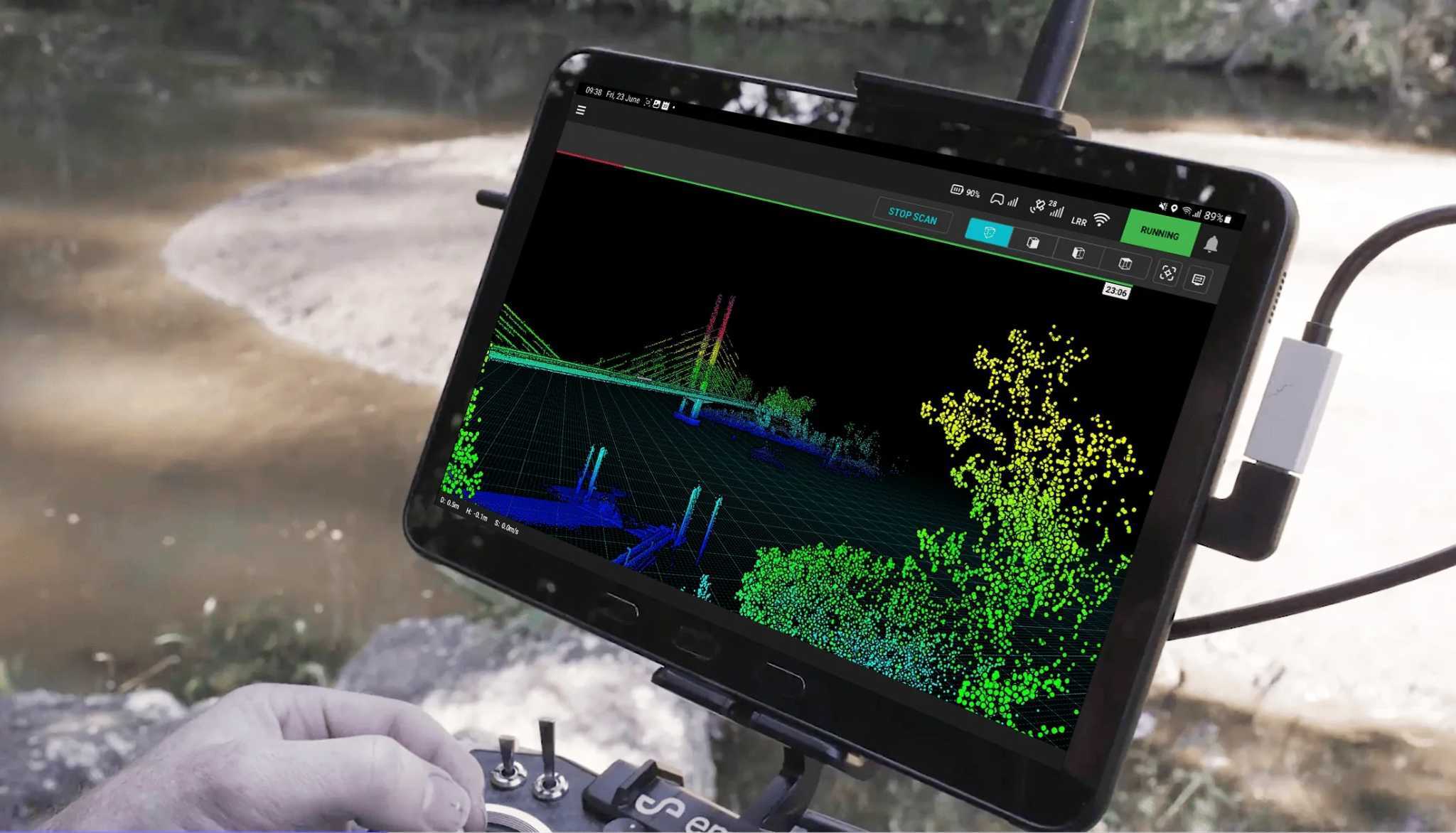
Automated mission control
Emesent Commander makes mapping, pilot assist and autonomous mission planning effortless, with user-friendly prompts, built-in fail-safes and responsive touchscreen control.
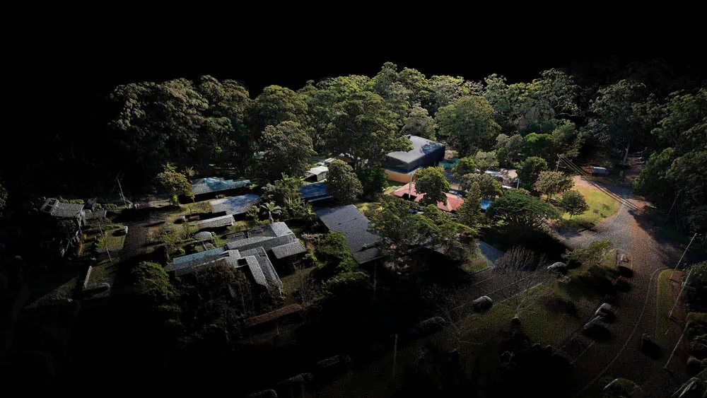
Point cloud processing
Emesent Aura processes and visualises scans in one intuitive platform, streamlining how you process, view and analyse point clouds for faster insights.
Hovermap STX specifications
- LiDAR range
- 0.5–300 m
- Mapping accuracy
- ±15 mm general · ±10 mm indoor
- Change detection
- ±5 mm isolated
- LiDAR channels
- 32
- Data acquisition
- Up to 1.92M pts/sec (triple return)
- Storage
- 512 GB · ~4 hours
- Weight
- 1.57 kg (3.4 lb)
- Rating
- IP65 weather-sealed
“Without doubt, the ability of Hovermap to enter areas that are completely inaccessible, capture data, and return to safety autonomously opens up new opportunities for mine incident analysis and response.”
Want to learn more about Hovermap?
Talk to our team about Hovermap for your mapping mission